

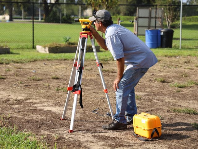
A property can look straightforward until someone wants to build, subdivide, sell or work out a disagreement. Fences may have moved over the decades, old plans may have references no longer in existence, and a sloping block can hide level changes that are relevant for drainage, access and structural design. The ground carries a history not always seen from the driveway. Careful measurement converts assumptions into coordinates that other experts can trust.
Survey information is often required at the beginning of a project but its importance continues through the design, approvals, construction and final records. Architects use it to understand constraints, engineers use it to test levels, and contractors use it to place work accurately. If the first information is fuzzy, all the following decisions are made on the basis of that fuzziness. A precise start does not just protect a line on a plan, it protects the sequence of the whole work.
The Invisible Geometry of a Project.
Land surveyors convert physical evidence, title information and measured observations into a spatial description of a site. That report can point out boundaries, contours, buildings, easements, services or features that could impact development. It’s not just finding corners. It links legal descriptions to the physical landscape so a proposed change can be checked against what is really there.
A good survey starts with questions of purpose. A new extension and a large civil project each have boundary issues that require different levels of detail. Knowing how the information will be used helps to define the field method, the features to be captured and the form of the final deliverable A good plan gives enough context for the next decision without bogging the reader down in irrelevant measurement.
Buildable Decisions from Field Evidence
The surveyor sees more than sites positions. Data collection can be affected by access restrictions, vegetation, retaining walls, adjacent structures and changes in surface conditions. Observations are relative to a common reference because control points are established. As regards boundaries, marks, occupation and documentary evidence must be weighed together and not allow a convenient fence to be an unquestioned answer.
Back at the office, raw observations are checked, adjusted and presented in a form which designers and builders can utilise. Contours can also show you where you might have to cut or fill. Spot levels can assist drainage thinking. Setbacks or clearances may be indicative of structures that may require further examination. Each measured feature becomes part of a common language between disciplines that may never be on site at the same time.
Small Uncertainties Can Be Costly
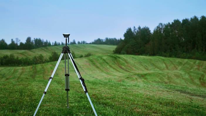
In an open field a mistake of a few centimetres may not matter, but next to a boundary, service or structural element it is serious. If a design is developed from incomplete information, the problem may not surface until excavation, set-out or inspection. At that stage correction can be redesign, delay, additional approvals, conflict between parties. So early accuracy is not administrative caution; it is risk management.
Clients can assist by offering available titles, previous plans, development concepts and site access information. They should also list any known concerns, not assume the surveyor is going to independently unearth every piece of history. Clear context allows field time to be spent on the areas of greatest uncertainty, and reduces the chance of a critical feature lying just outside the scope requested.
Good Records Survive The Job’s
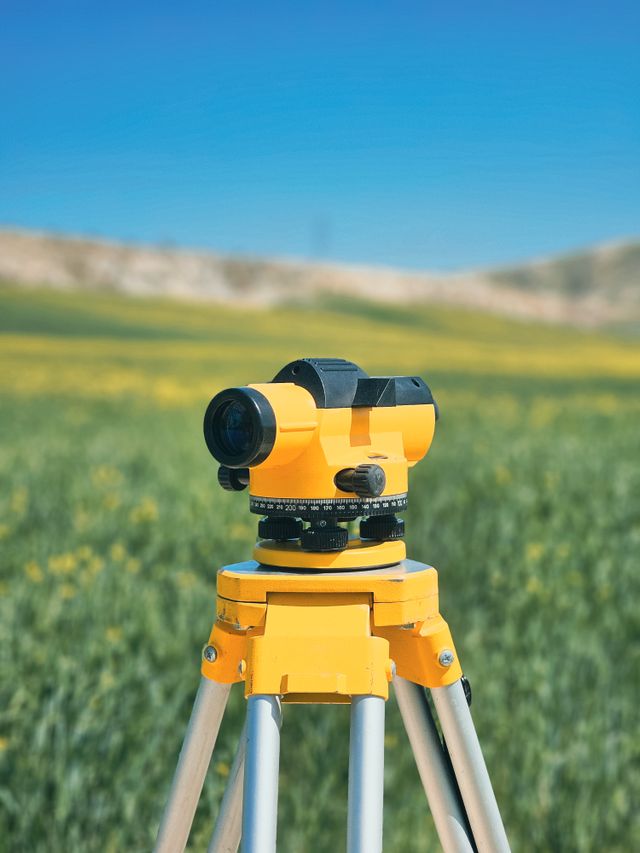
A good survey is worth while even when the immediate job is finished. Future owners can use it when they plan another change. Contractors can compare the construction to the original site. Designers can return to levels without recreating the entire spatial picture. The record becomes part of the technical memory of the property, especially if the files are kept with clear dates, references and explanations.
The strongest outcome is not just a detailed-looking plan. “It is a plan that gives the next professional more confidence about what is there, what has been measured and where further investigation may still be needed”. When the ground is allowed to speak through reliable evidence, projects start with fewer guesses and a clearer relationship between legal space, physical space and the work people intend to create.









Leave a comment